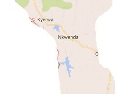
Kyerwa district is one of eight districts comprising the Kagera region. It is situated between 2º15’ and 30.15’ South of the equator and between 31º00- 32º00 east of Standard Meridian. Kyerwa District is one of the eight Districts of Kagera Region and covers an area of 3,086 Km². The District borders the Republic of Uganda in the North, the Republic of Rwanda in the West. The Kagera River forms the boundary between Kyerwa and the Republic of Rwanda and Uganda. The District of Ngara borders the District in the South while Karagwe District borders in the East. The distance from Kyerwa District HQ to Dar es Salaam is about 1880 kms and to the Regional Headquarter (Bukoba) is about 195 kms.
Administration:
Kyerwa is divided into 4 Divisions, 18 Wards, 99 Villages, and 674 Hamlets (Vitongoji).
Demography
According to 2012 Population and Housing census, Kyerwa district had a population of 321,026 people of which 163,828 are female and 157,198 are male with average household size of 4.8,sex ratio is 96. Due to annual growth rate of 3.2% by December, 2015 the district is estimated to have 366,922 people.

Kyerwa District Council
Anuani ya Posta: P.O Box 72, KYERWA
Simu ya mezani: +255 686 397 972
Simu ya Mkononi: +255 754 422 746
Barua pepe : ded@kyerwadc.go.tz
Copyright ©2025, ICT Department Kyerwa District Council . All rights reserved.